Cita:
ubatuba ha scritto:
ciao digdug.volevo chiederti se le foto postate provengono da mars anomaly,e se i colori sono reali,o sono falsi x risaltare la struttura del terreno
ubatuba
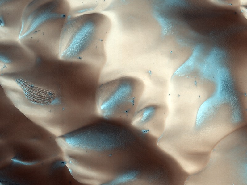
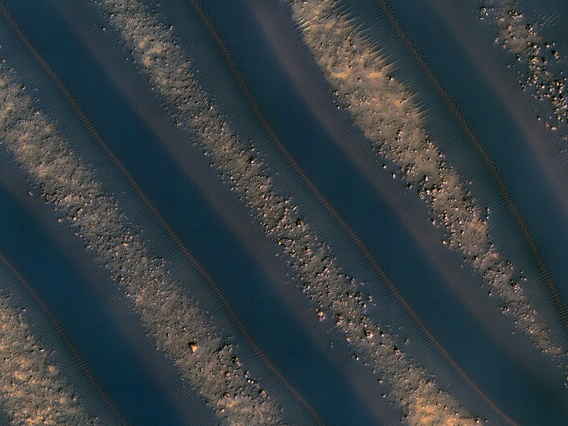
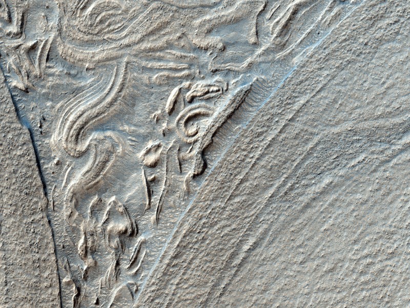
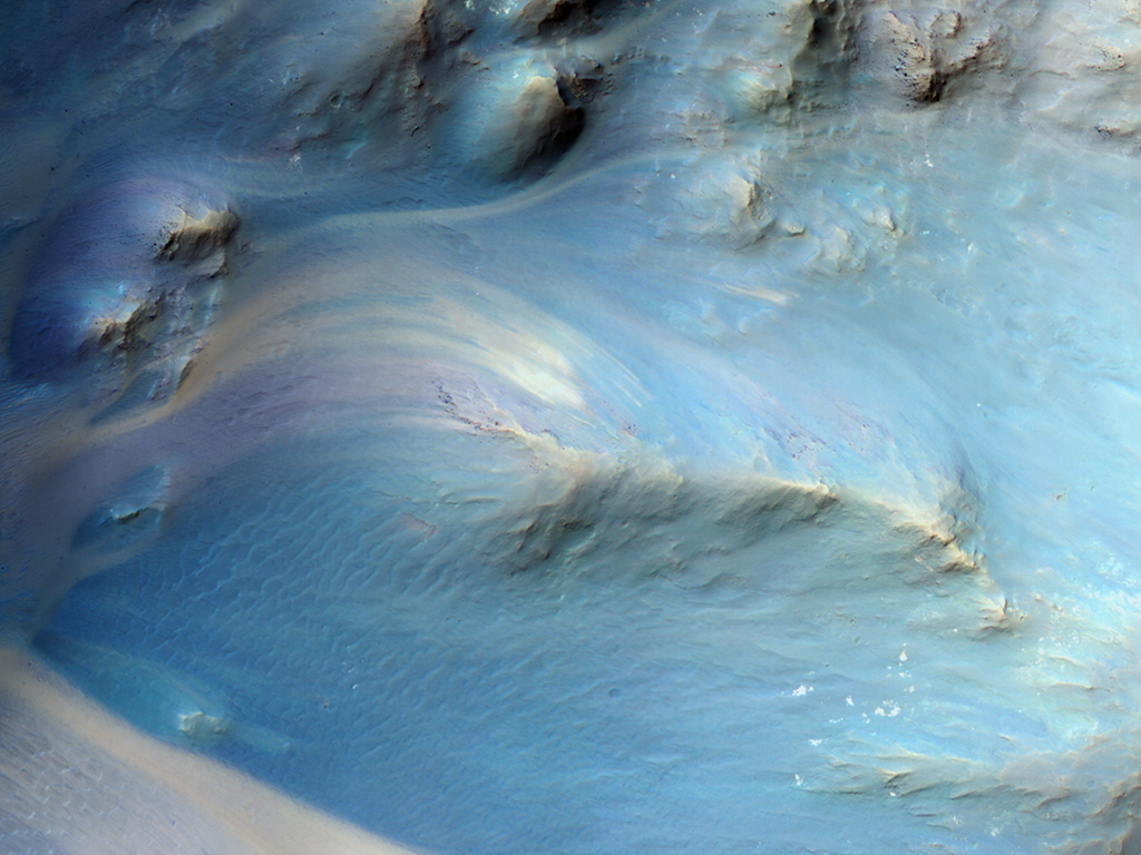
Ciao ubatuba le foto che ha pubblicato DD vengono direttamente dal sito HiRISE della NASA
http://hirise.lpl.arizona.edu. Le puoi osservare anche ad una risoluzione maggiore cm per cm usando ad esempio IAS Viewer (le istruzioni le fornisce la NASA stessa sul sito), che è un'applicazione JAVA per visualizzare il formato jp2 (JPG 2000).
Per quanto riguarda i colori, non sono quelli reali:
Cita:
What do RED, BG, and IR mean?
These are shorthand titles for the different types of CCDs HiRISE has. The HiRISE camera has three different color filtered CCDs: red ("RED"), blue-green ("BG"), and near-infrared ("IR"). The wavelengths of these filters are as follows: RED: 570-830 nanometers BG: <580 nanometers IR: >790 nanometers
What are the BG and IR EDRs, and How are They Different from RED?
There are ten RED CCDs, two BG CCDs, and two IR CCDs. Combining the images taken by the three different color filters allows us to create "false" color images. The BG and IR CCDs are aligned with the center two RED CCDs, providing a two-CCD-wide color swath. This means that the images captured in the BG and IR products are aligned with the images captured in the RED4 and RED5 CCDs.
What does “false color” Mean?
"False" color means that the color you see in HiRISE images is not the "true" color human eyes would see on Mars. This is because the HiRISE camera views Mars in a different part of the spectrum than human eyes do. Nevertheless, false color imagery is extremely valuable because it illuminates the distinction between different materials and textures.


 Viral Marketing Discoverer!
![[:136]](./images/smilies/UF/136.GIF "Emoticon")


